Help your students develop a global perspective by using the earth as your chalkboard!
There are lots of really neat tools that you can use to explore the world.

Using geo tools in the classroom comes naturally in a social studies class, but what about math, and science?
Can language arts teachers use Google Earth?
Can you teach art using Google Maps?
Sure!
Here are 34 ideas for incorporating Google Earth into any subject area.
Language Arts
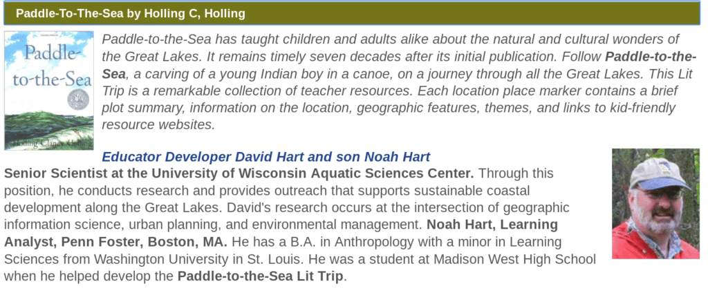
- Find a Lit Trip for the book you are reading.
- Use Tour Builder to create an interactive story.
- Use the “I’m feeling lucky” button in Google Earth to inspire a descriptive writing prompt (check out these standards-aligned warm up questions)
World Language
- Explore the culture of countries that speak Spanish, French, etc using Google Earth.
- Planning a cross-culture trip? Create a virtual tour with Tour Builder to show your itinerary!
- Explore art and cultural artifacts in the Google Arts & Culture.
 Math
Math
- Calculate surface area and distance using Google MyMaps
- Look for geometric shapes by using street-view imagery.
- Collect data using Google Forms and share the results on a map using MyMaps
- Plan a vacation using MyMaps and calculate the cost of gas, food, lodging, etc.
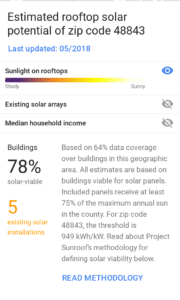
- Should your school install solar panels to conserve energy? Find out using Project Sunroof.
- Predict the next flu outbreak using Google Trend data.
- Learn about circles in architecture (this is a neat Google Earth Voyage!)
On the Podcast: Click here to listen to my interview with Kelly Kermode and Kim Randall, authors of Bring the World to your Classroom, a great book on teaching with Geo tools.
 Science
- Explore ecosystems using Google Earth
- Take a voyage using Google Earth
- Collect images for an ecosystem project using Google Earth
- See the effects of climate change using Earth Viewer
- See global temperatures with data layers in Google Earth.
- Help students understand the scale of things big and small with Scale of the Universe.
- Use Google Expeditions to explore the human body. (Here’s a list of the available tours)
Technology
- Have students map data collected from a Google form using MyMaps
- Learn about embedding images and video by creating a world tour using Tour Builder
- Use a digital camera to create a 360 image and post it to Streetview
Art
- Explore regions of the world known for their amazing architecture (I recommend Prague!)
- Use a landscape in Google earth as inspiration for a painting.
- Look at artwork from a geographic region using Google Arts & Culture (and then try to find the place on Google Earth!)
Social Studies
- Compare images from primary source material with the current satellite imagery available in Google Earth. (the Gettysburg battlefield is an easy one)
- Use Tour Builder to create a visual timeline (Here’s one on Ancient Egypt)
- Use Street view images to identify the 5 themes of geography.
- Explore primary source material through Google Arts & Culture exhibits.
- Play Geo Guesser with your students (kind of like pin the tail on the map)
- Experience what school is like around the world with this Google Earth Voyage.
- Use the “I’m feeling lucky” button in Google Earth to ask warm-up questions. (check out these standards-aligned examples!)
- Have students take this fun quiz on the natural wonders of the world.
What did I miss? How have you incorporated these tools into your classroom?


Reader Interactions